
Varun Rawat,

Learn how GIS technology helps analyze spatial data to solve real-world problems in health, environment, agriculture, transport, and urban planning.
-
Level
-
5x per week
-
30 students
A learning goal is a clear and specific statement that defines what a learner is expected to know, understand, or be able to do after a lesson, course, or educational activity. It serves as a guide for both teaching and assessment, helping students stay focused and motivated. For example, a learning goal in a geography class might be: "Students will be able to use GIS tools to analyse spatial data and interpret geographic patterns." Effective learning goals are usually measurable, achievable, and aligned with broader educational objectives.
Curriculum Overview
Lesson Name: Geographic Information Systems (GIS)
What Learners Will Explore:
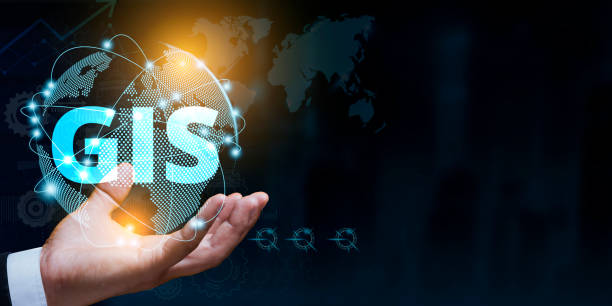
Geographic Information Systems (GIS) are powerful tools used for capturing, storing, analyzing, and presenting spatial or geographic data. In simple terms, GIS allows users to visualize, question, and interpret data to understand relationships, patterns, and trends in the form of maps, reports, and charts. This technology plays a crucial role in various fields, including urban planning, environmental management, transportation, public health, and agriculture. For instance, GIS can be used to map disease outbreaks, plan efficient delivery routes, or monitor deforestation. By integrating different types of data and linking them to geographic locations, GIS helps in making more informed and effective decisions.
About the Educator | Credentials 

Varun Rawat
This teacher also offers full carriculum, please contact for further details
Educator, Trainer, Coach and Mentor
Gig Reviews
- Value - Excellent
- Content Quality - Insightful & Good Coverage
The very best teacher I have ever seen, and a very humble and superb person.














 Academics
 Tech Skills
 Soft Skills
 Hobbies & Wellness
